
In just about every way possible, Australia’s Stonehenge differs from its famous English counterpart – but the most noticeable difference is undoubtedly the total lack of standing stones at the Aussie address! All the same, there are stones – albeit vastly different in size and orientation. Many years ago, some wag decided to write names using pebbles, and the idea caught on. Nowadays it’s a fully fledged ‘address book’ where town names and people’s names have been written in stones over the years. You might even add your own name for the sake of posterity.
Apparently the settlement got its fanciful name back when the area was a safe crossing area for bullock teams and their drivers. A stone fortress was built for the bullock drivers to overnight in, and when the building fell into ruins, the area became known as Stonehenge.
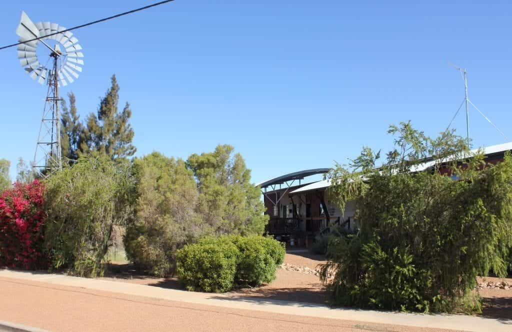
Situated just off the Thomson Developmental Road, Stonehenge has a population of 40 people. Our Stonehenge has its own claim to fame as one of only three areas in Australia chosen as a base for an over-the-horizon radar defence initiative. While it is a long way inland, Stonehenge is in a perfect position to be a transceiver in a Department of Defence program to guard the coastline. It’s also in the right spot for an earthquake monitoring installation to provide an early warning system for the Pacific Rim, so while the township might only be small, it is in an important geographical area.
The Thomson River is just behind the Stonehenge Hotel and attracts many bird species including corellas, galahs, white cockatoos, spoonbills and wild budgerigars. A weir provides permanent water for people wanting to camp and fish.
The Stonehenge Community Centre is open 20 hours per week (check for opening hours when you arrive). It houses a public library with internet services. The fortnightly RFDS clinic is also held at the Community Centre. See the award-winning arid garden created by locals.


Welcome to Travel Action Matilda Country!
We are passionate about promoting the stunning landscapes, rich history, and vibrant culture of Outback Queensland. Our website is designed to provide you with all the essential information, insider tips, and exciting experiences to make your journey an unforgettable adventure.